Paper field notes slow environmental research down
Environmental teams often collect site observations, sample records, habitat notes, or monitoring data on paper and then spend extra time organizing photos, coordinates, and spreadsheets after returning from the field.
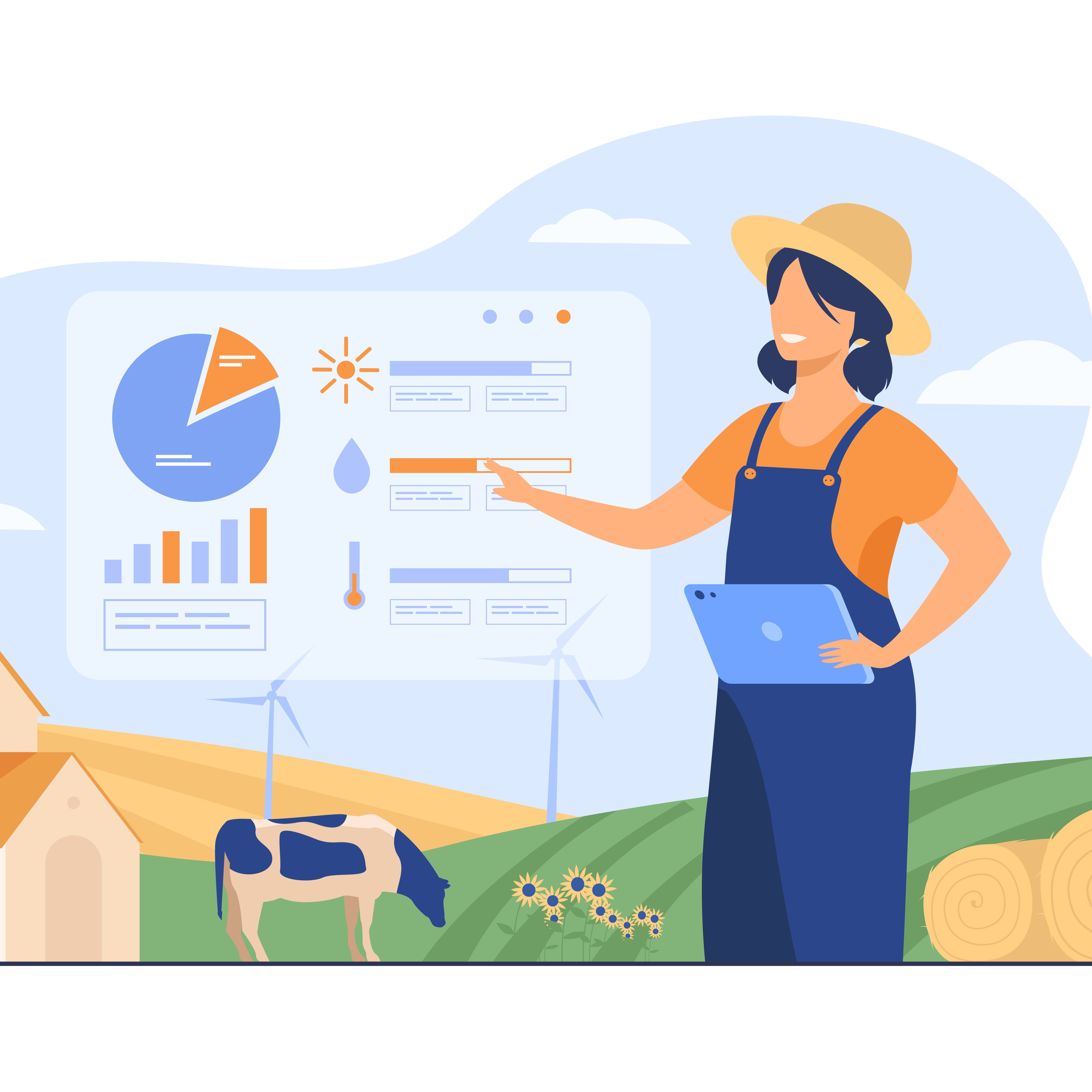
An environmental field research app keeps collection and reporting in one workflow. Researchers complete the form on mobile, attach photos, capture geotagged records, and sync the data into a dashboard without rebuilding the dataset later.
How it works
Step 1
Build the field research form
Create a bucket for site observations, biodiversity surveys, sampling records, habitat monitoring, or environmental inspections using the fields your team needs.
Step 2
Send it to field researchers
Invite researchers, technicians, or contributors so they can collect data from phones or tablets while working across sites.
Step 3
Review synced records
Each submission appears in the dashboard with geotagged data, timestamps, photos, and structured answers for faster review and analysis.
Key features for environmental and field research teams
Geotagged mobile forms
Capture site observations with location-linked forms so each record stays tied to where it was collected.
Photo attachments
Attach field photos to observations, sample records, or site visits instead of managing separate image folders later.
Offline sync
Collect environmental data in remote areas without signal and sync records later when the device reconnects.
Structured field records
Use consistent fields for measurements, notes, categories, and statuses so data is easier to compare and analyze.
Contributor workflows
Let multiple researchers collect data into the same shared system across projects or study areas.
Dashboards and map views
Review field records from the web dashboard and monitor site activity, submissions, and locations in one place.
Real workflow example
A practical example of how an environmental field research app works during site data collection.
From field observation to dashboard
- A researcher opens the field data form on a phone or tablet.
- They record the observation, sample details, or site condition directly in the form.
- They attach photos and capture geotagged data and timestamps on site.
- They save or submit the record, even if the device is offline.
- The synced record appears in the dashboard so the team can review and analyze incoming field data.
Benefits
Faster reporting
Field observations reach the dashboard sooner instead of waiting for notebooks, photos, and spreadsheets to be combined later.
Fewer errors
Structured digital forms reduce missing fields, transcription mistakes, and disconnected photo or location records.
Real-time visibility
Project leads can see what data has been collected, where it came from, and which field teams are active.
Comparison with traditional tools
Paper notes and manual spreadsheets
They work for simple fieldwork, but they create extra cleanup, slower analysis, and weaker traceability between observations, photos, and locations.
Environmental field research app
A better fit for ongoing field programs because geotagged forms, photos, timestamps, and dashboards stay connected from collection through review.
If environmental data is still captured on paper and rebuilt later, the reporting delay and cleanup effort are built into the workflow. A field research app removes that extra layer and keeps field records usable immediately.
Frequently asked questions
What is an environmental field research app?
An environmental field research app helps teams collect field observations, measurements, site notes, and sample records on mobile devices with geotagged forms, photos, and centralized dashboards.
Can researchers collect data offline?
Yes. todata.net can support offline field collection, which is useful for remote sites, protected areas, and low-connectivity environments where researchers still need reliable data capture.
Why use an environmental field research app instead of paper forms?
Paper forms slow down analysis and create extra work after field visits. An environmental field research app keeps forms, photos, timestamps, location data, and dashboards connected from the moment data is captured.
Can multiple field researchers use the same system?
Yes. Teams can invite contributors to collect data from mobile devices while supervisors or analysts review incoming records from the web dashboard.
How do I get started?
Create an account, build a field research bucket, invite your team as contributors, and start collecting environmental data from mobile devices.